
Today will be sunny, and far less windy!

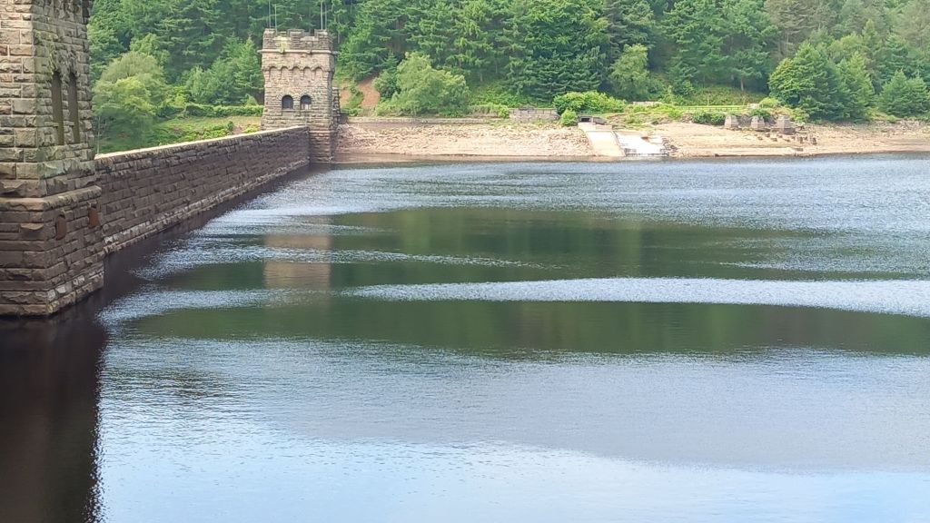
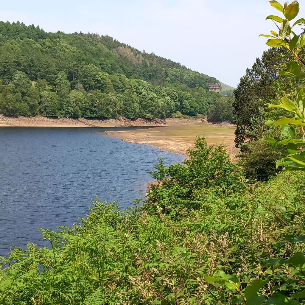
We drove to the top of Ladybower Reservoir, parking almost under Derwent dam itself, and strolled north along the edge of Derwent reservoir. The water levels are very low, maybe 5m down, following the dry spring.

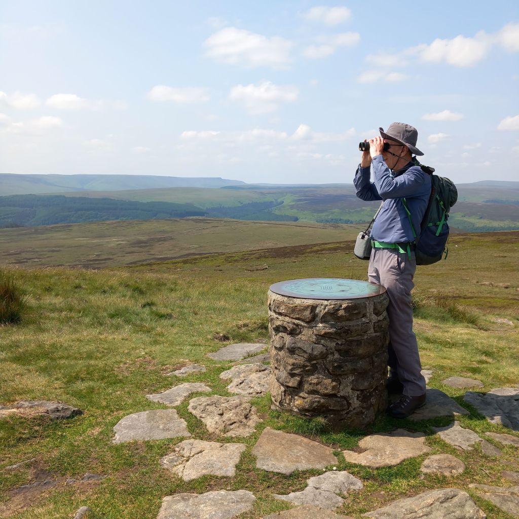
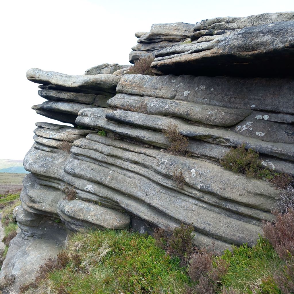
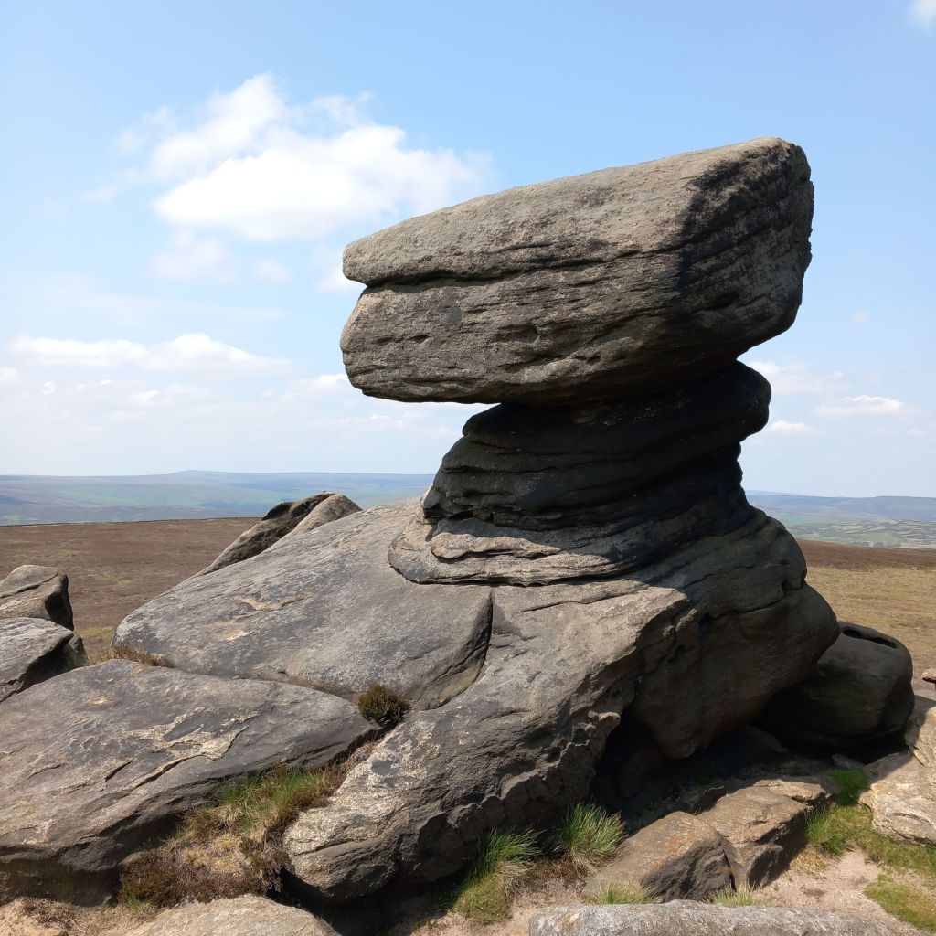
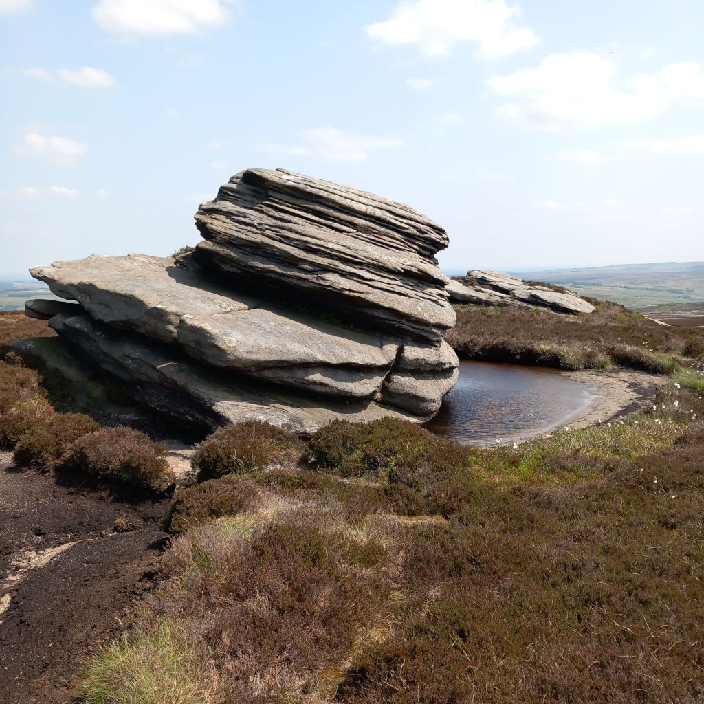
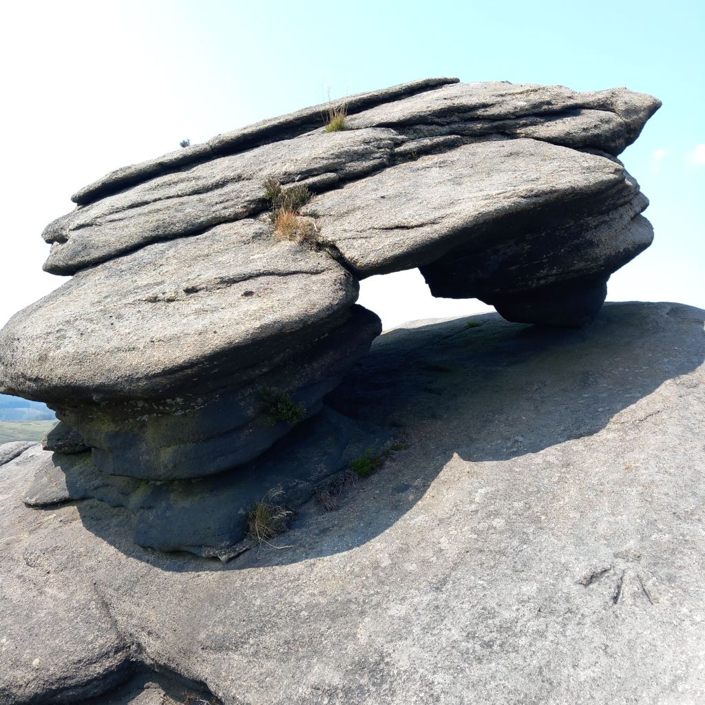
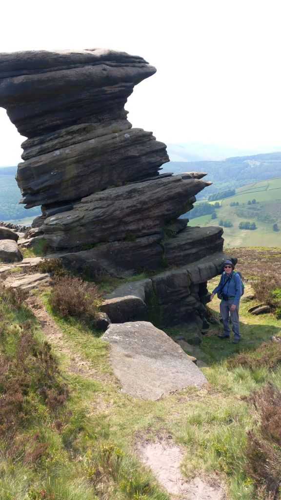
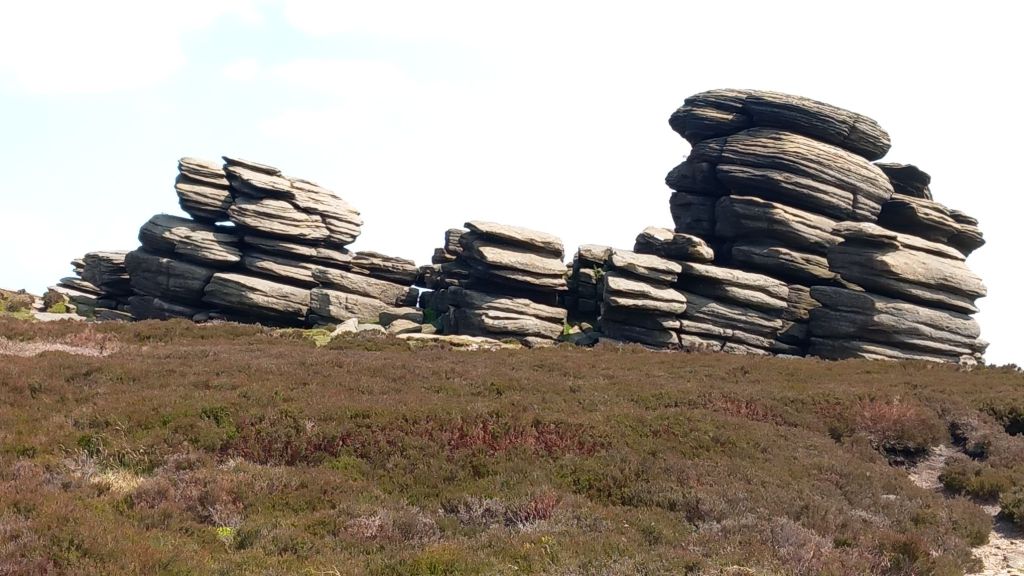
We turned away and up the hill… And up, and up… To the crest of the ridge across the moor. The route was well maintained and easy to walk, with some amazing rock formations that had weathered out of the millstone grit
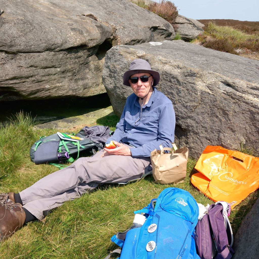
The breeze was quite fresh on top, but we found a sheltered spot for lunch.

As we dropped from the ridge down to Ladybower, we met a couple on bikes, with their dog in his pannier (the dog seemed to be enjoying it!). But they weren’t really mountain bikes, and it seemed a lot more effort than just walking – we decided to stick with walking, mainly because it’s easier to stop and look at interesting things.
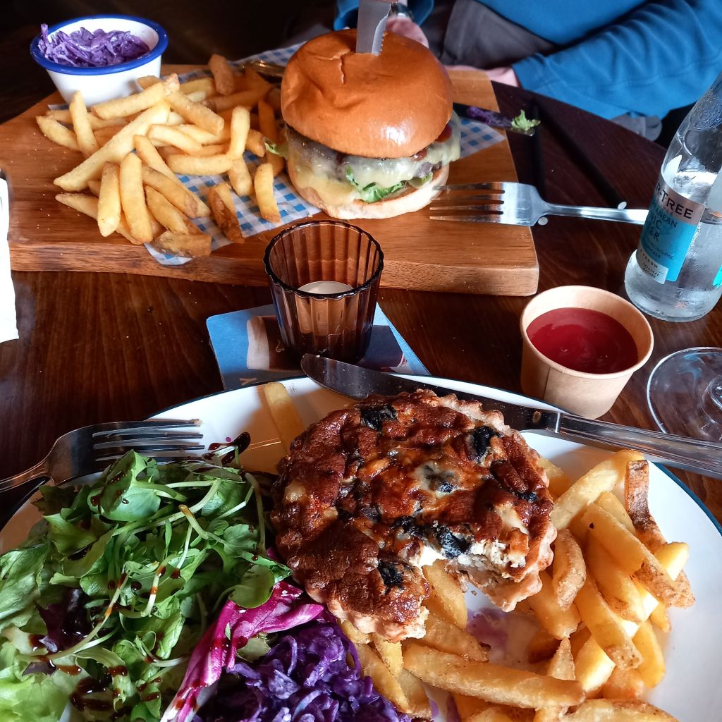
We walked back up this reservoir, past the site of the drowned Derwent village. There was no sign of it, but it was surprisingly poignant. Then back to the car park for an ice cream, home for a shower, and to the New Inn for supper.
After supper we walked round some of the Historic Buildings of Buxton, collecting information for a geocache. Unfortunately we’d forgotten a pen, so we’ll have to come back tomorrow to finish it off.
28,000 steps, 9.5 miles, 4 geocaches

Leave a comment