
Another gloriously sunny day!
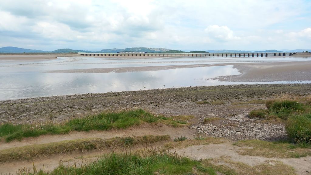
We drove down to Arnside, where the river Kent flows into Morecambe Bay. It was low tide when we arrived, so there was just a vast expanse of mud flats.

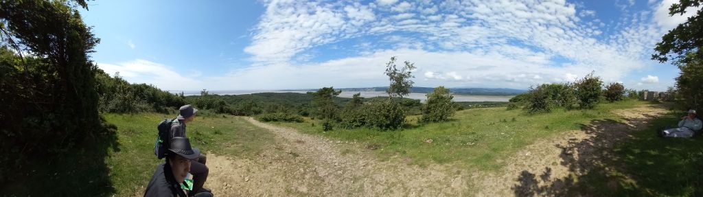
We headed up out of the town to Arnside Knott, with amazing view to the fells to the north, the penines to the east, and out across Morecambe Bay to the Heysham power station to the south.
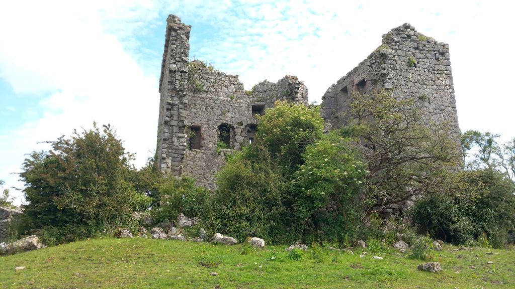
We dropped down through lovely ancient woodlands to Arnside Tower, a peel tower from the 14th century to repel Scottish raiders, but now sadly damaged.
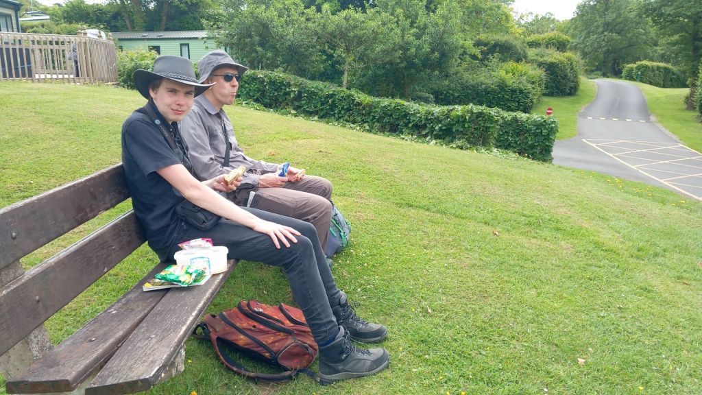
The path took us through a caravan park, where we found a convenient bench for lunch!
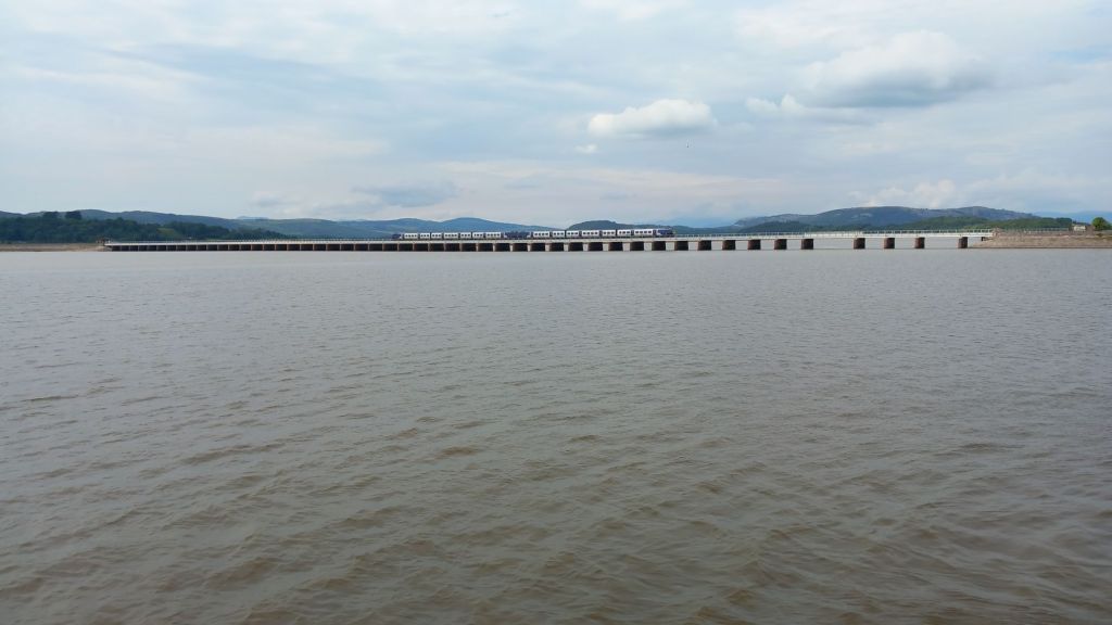
We wiggled across fields down to the shore at Far Arnside, where the tide was racing in (as it does across Morecambe Bay). We alternated between a path through the woods and along the shoreline, all the way round back to the town. By the time we got back, the tide was pretty much full.
We had an ice cream, then wandered round the town collecting information for a geocache. When we stopped in a pub to calculate the final co-ordinates, it became clear we had failed miserably on at least two points! But rather than starting again, our tired feet encouraged us to give up… Maybe we’ll be back!
We stopped at Booths for essentials, then home for sausage & chips.
Totals: 9 miles, elevation gain 902 feet, 6 hours

Leave a comment